Product Reviews
Blog
Podcast
About Us
Contact
More
Average Review
Cost
Ease
Value
Support
Description
AgVault™ 2.0 software allows growers to use high-resolution, near-infrared (NIR), and normalized difference vegetation index (NDVI) data for an unlimited number of acres, after drone capture.
Manufacturer:
Tutorial:
GPS 7500
Ag Leader
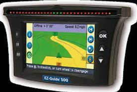
EZ-Guide 500
Trimble
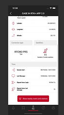
AFS RTK PLUS
Case IH